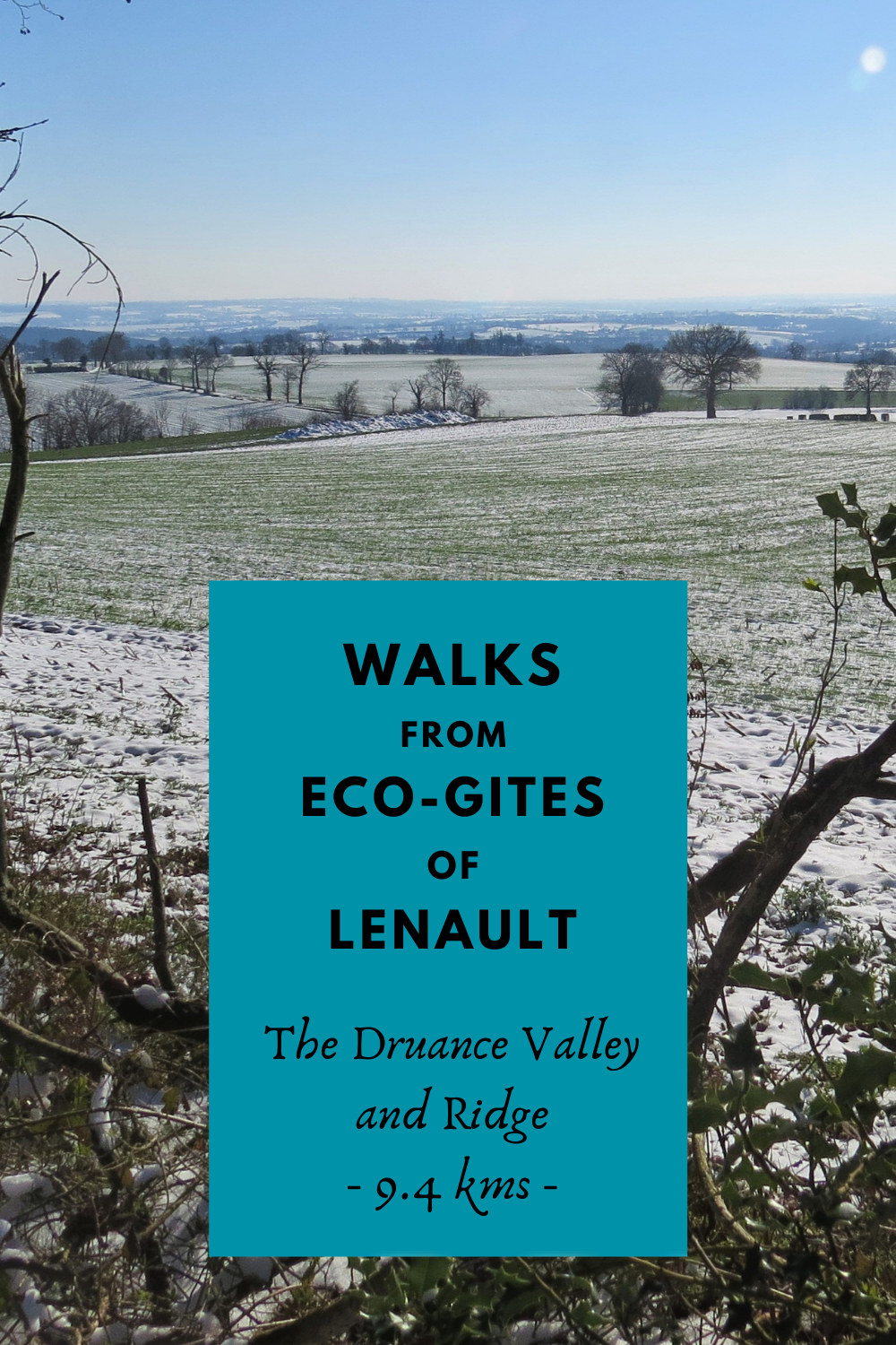
Eco-Gites of Lenault Walks - The River Druance and Ridge
.
.
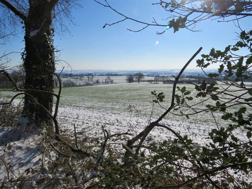
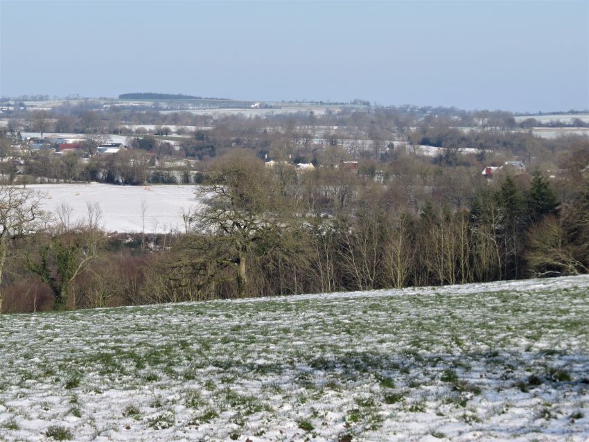
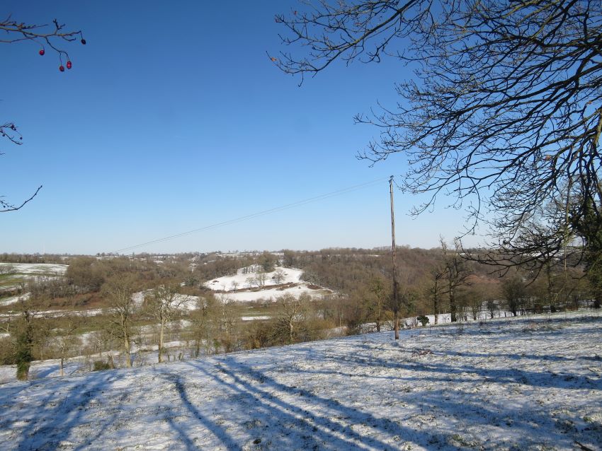
This is the third of our series of guided walks that all start and finish at Eco-Gites of Lénault. This is one of the longer walks suggested and includes 3 hill climbs to get your heart beating ... but the hills are well worth it for the views from the top of the ridge.
.
The Druance Valley and Ridge
Distance - 9.4kms
This walk takes you up to the other side of the Druance valley and gives fine views over countryside to the north and south of the gite. It has a few short road sections and three quite steep climbs. In winter one section, in particular, becomes a stream so sturdy and waterproof footwear is advised.
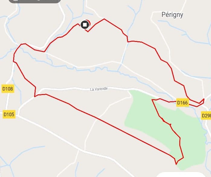
Route for The River Druance and Ridge
Walk out of our back gate and turn left. At the road turn right and and head downhill.
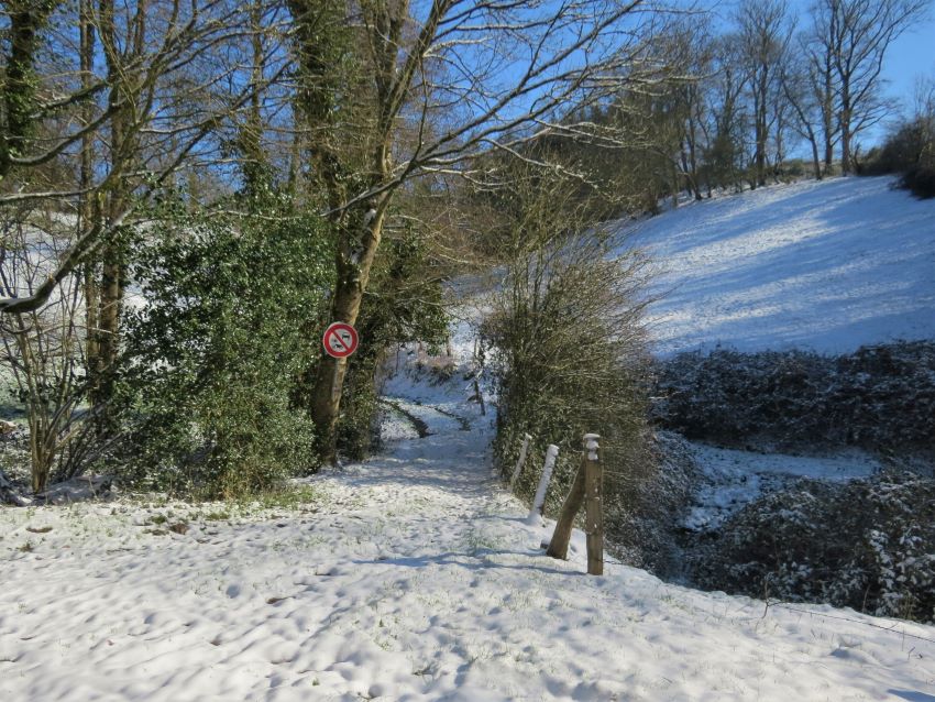
Take the first footpath on your left, part way down the hill and marked with a No bikes, motorbikes or cars sign. Cross over the small stream and head up the hill. This path becomes its own fast moving stream in winter and was always called the Waterfall Path by our boys when they were young.
Just before the path reaches the next road at a small cluster of houses take the path to the right at the Le Bout de Là waymarker.
Head along this path and then downhill and at the road turn right. This waymarker, Val Meriènne, mentions La Rando des Haras Nationaux and La Chevauchée de Guillaume, two routes specifcally designed for horse riders.
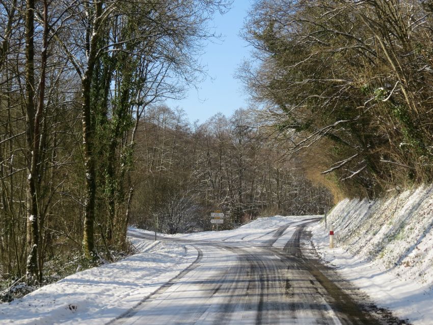
After 50m turn right again onto the D166. When the road forks take the left hand fork, remaining on the D166 and signposted Saint Vigor des Mézerets.
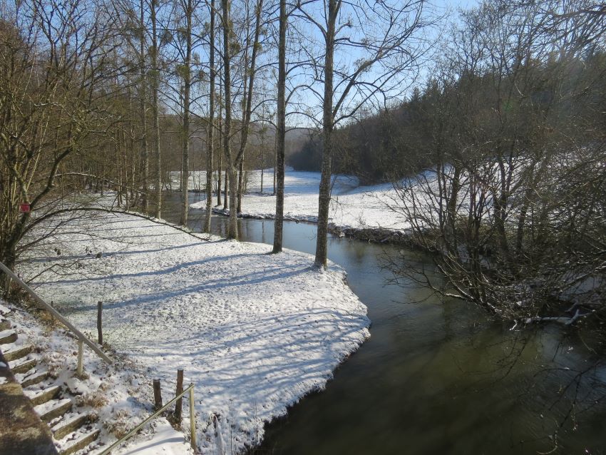
Cross the bridge over the River Druance.
The River Druance is our closest river which flows into the Noireau at Condé-sur-Noireau. In the past several water mills existed along the river with at least one still having a working water wheel.
Ignore the path immediately after the bridge but take the next path on your left. You will know it is the correct route if you look to the other side of the road and see another path with a No Moto/4x4 sign.
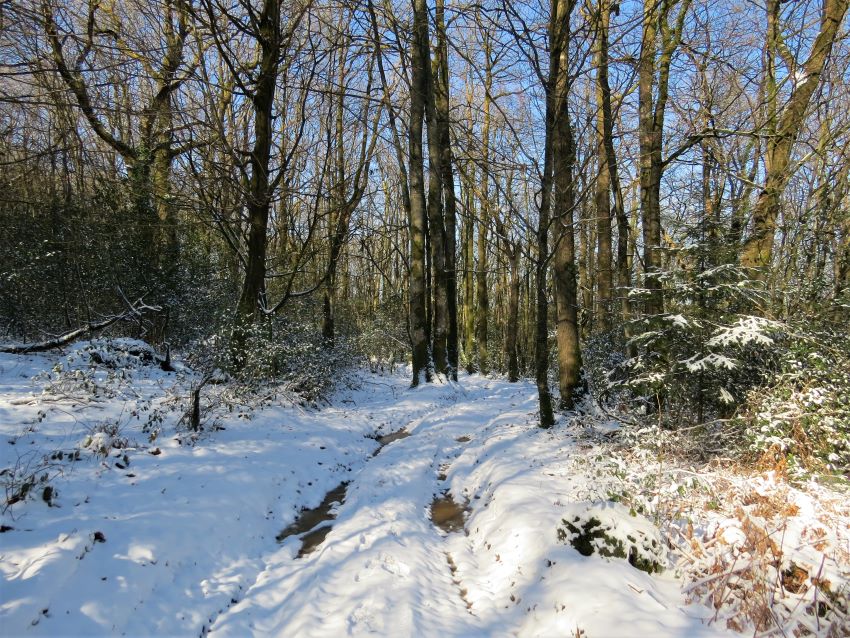
Head uphill through the forest, taking care to bear left after a short while and do not take the path stright on (you'll see several waymarker crosses on trees).
Continue through the forest to the top of the ridge. The path takes a sharp right turn and a short while after, where the pines trees on your rigt end, take the right turn slightly back on yourself.
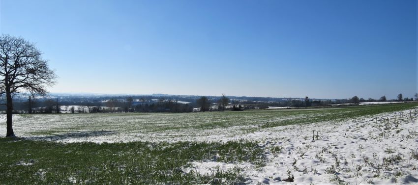
Continue along the ridge enjoying views first to your left (south) and later to your right (north) from where, the keen-eyed among you might be able to see the gite.
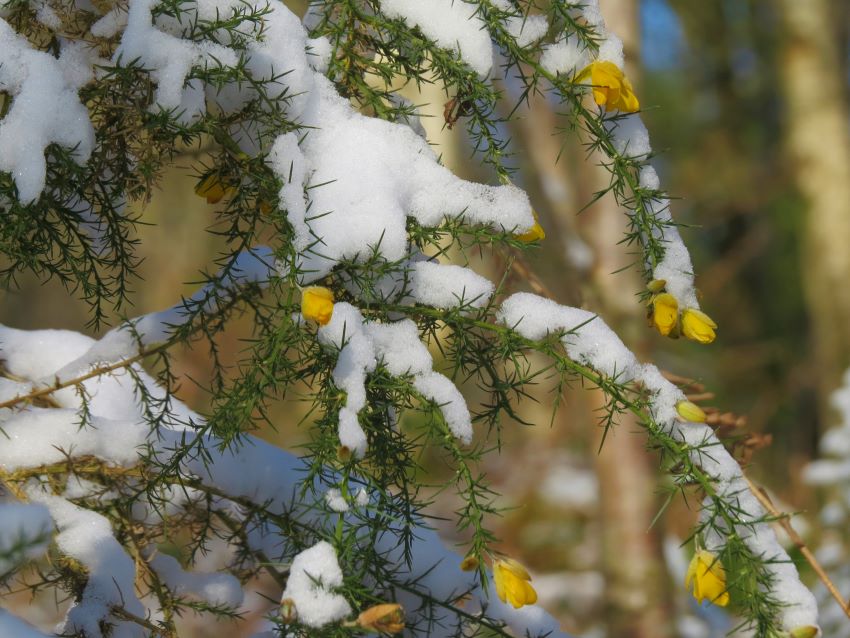
This section of the walk is a good place to look out for gorse flowers. it is said that it is the kissing season when the gorse is in flower ... not surpising really as gorse flowers all year round!
Keep heading straight on until the path becomes tarmac and finally reaches a T-junction with a road. Turn left.
After one field on your right turn right.
Follow this path downhill and turn right at the road.
Walk down the hill and cross over the River Druance for the second time. The large building on your left is one of the water mills mentioned earlier.
Continue until the road forks and take the right fork marked Pontécoulant along the D298. *
After 400m turn left and walk up the hill towards the gite.
At the top of the hill turn right at the La Caucesserie waymarker and after 100m turn left through our back gate.
* Guide for walkers not starting at Eco-Gites of Lenault
Start this walk on the D298 marked with an * in the details above. There is a small lay-by just beyond the path that takes you up the hill. Walk up the hill and as you turn right at the La Causserie waymarker do not turn into our gate but continue along the path until it reaches the road. Turn right down the road at the derelict buildings and follow the route as given.
You might also like:
Eco-Gites of Lénault Walks: Saint Jean le Blanc
.
Pin me for future reference:
